
Cottonwood Creek Watershed
The Cottonwood Creek watershed lies within both Tehama and Shasta counties. This webpage provides access to information about the Cottonwood Creek Watershed for landowners, residents, and the community at large. Further information is available from the Sacramento River Watershed Program at this link.
Watershed Resources
Assessments and Management Plans
Cottonwood Creek Watershed MapCottonwood Creek Strategic Watershed PlanCottonwood Creek Fuel Breaks MapCottonwood Creek Strategic Fuels Reduction and Management PlanCottonwood Creek Watershed Management Plan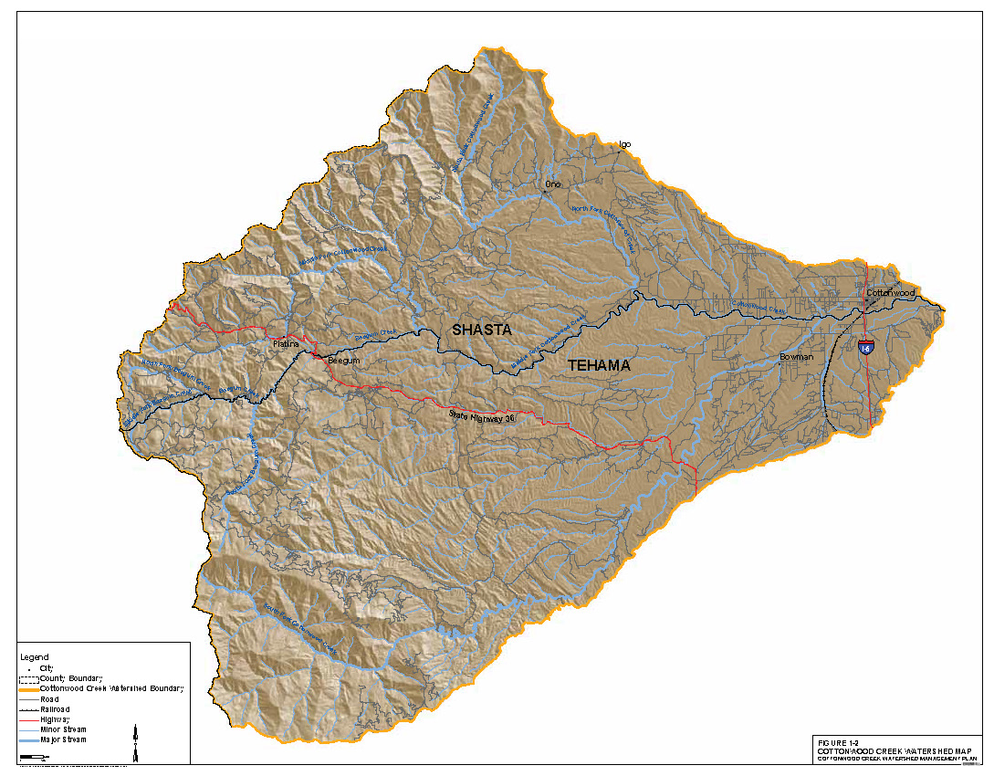
Project Reports
Video Weir Technology Pilot Project, Final Report, 2008-2010 Steelhead EscapementsVideo Weir Technology Pilot Project, Final Report, 2007-2020 Fall Chinook Salmon EscapementsHydrology, Geopmorphology, and Historic Channel Changes of Lower Cottonwood CreekCottonwood Creek Aerial Photo Comparison, Baker Property, 1939-2002Cottonwood Creek Aerial Photo Comparison, Bengard Ranch, 1939-1999Past Projects
Through a grant from the CA Department of Conservation's Watershed Coordinator Program, the Resource Conservation District of Tehama County completed several projects and workshops relating to the Cottonwood Creek watershed. For more information about any of the below items, please contact Vicky Dawley at 530.727.1280.
- Rain Monitoring
- Fuels Management (Benson Bassler)
- Nonnative Plant Management (project documents, nonnative plant info, project photographs)
- Workshops (Invasive Plants in Cottonwood Creek, Fire Safety & Defensible Space for Rural Landowners, and Fire Safety & Defensible Space for Homeowners)