Onion Ridge L-Line Fuel Break Project
The Onion Ridge Project is a successful example of public (RCDTC) and private (Sierra Pacific Industries and Collins Pines) entities working together to improve forest health at the headwaters of two critical creeks for fish habitat in Tehama County.
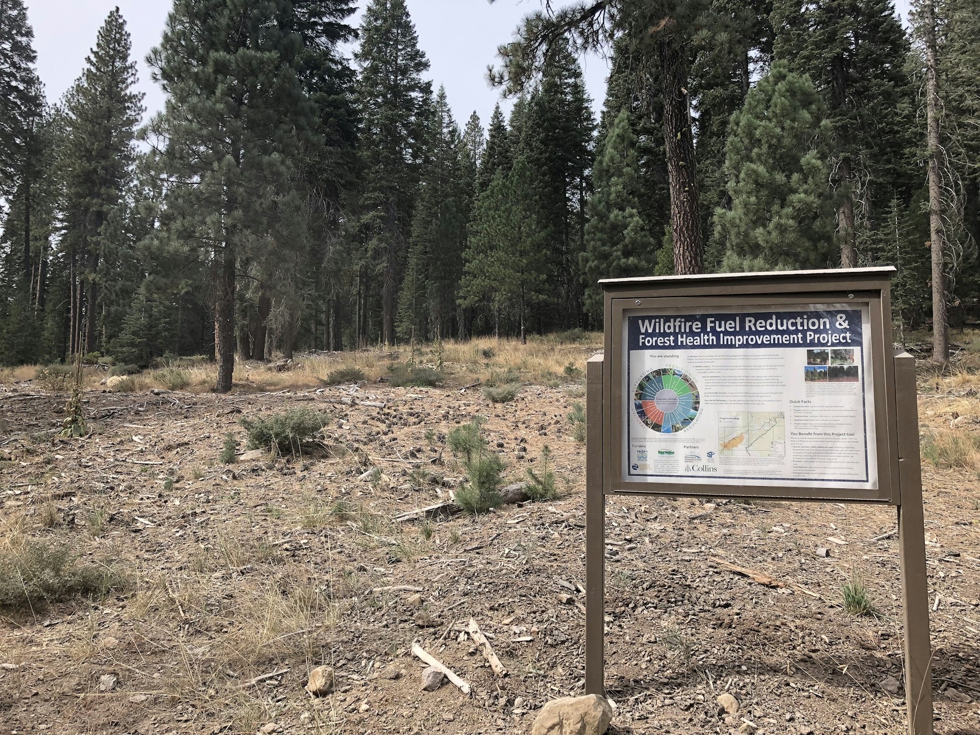
The Onion Ridge Fuel Reduction and Forest Health Improvement Project created a strategically located shaded fuel break in eastern Tehama County along a 25 mile main access road on the ridge between Mill Creek and Deer Creek. This fuel break was created in order to provide safe access for wildland firefighters in the event that a wildfire should occur within either watershed. This fuel break also ties into the Ishi Wilderness in the Lassen National Forest, which occurs in steep terrain with heavy fuel loads. The Project was a partnership between the Resource Conservation District of Tehama County (RCDTC), Collins Pine Company (Collins), and Sierra Pacific Industries (SPI).
The project’s main focus was to protect Mill and Deer Creek Watersheds' populations of anadromous salmonids. They are two of only five large undammed anadromous fisheries in the northeastern Sacramento River watershed. Both creeks support populations of spring-run Chinook, fall-run Chinook, and steelhead trout. Deer Creek additionally provides habitat for pacific lamprey. Central Valley spring-run Chinook salmon are listed under the California and Federal Endangered Species Act as Threatened. These two watersheds also provide habitat for the East Tehama deer herd, historically the largest deer herd in California. The Tehama deer herd utilizes these watersheds as their migration corridor between their summer and winter range. These two watersheds are also home to the reintroduced population of pacific fisher. Sierra Pacific Industries reintroduced this population into their Stirling District in 2009 in efforts to help return fisher to a portion of their home range. Since their reintroduction, translocated fisher appear to be surviving and expanding their range, moving deeper into the Mill and Deer Creek watersheds.
The Project was successfully implemented and the shaded fuel break was established along a 25 mile long road system.